Todo Nieve/One column of latitude
The nine, measured
Vertical drop, lift-served area, and base elevation arrange the resorts in a way that altitude-above-sea-level alone never could.
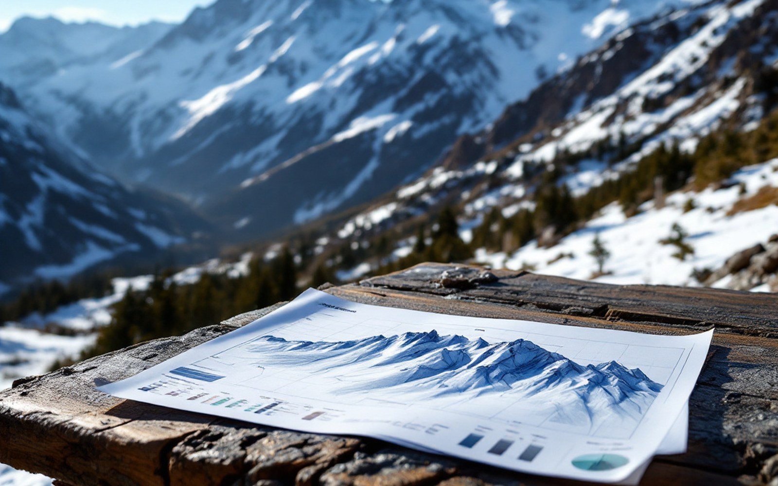
Numbers before opinions
Every resort in Argentina gets described somewhere as "spectacular" or "world-class." Those words carry nothing you can check. Three numbers do: vertical drop — the difference in elevation between the highest lift-served point and the base — lift-served skiable area in hectares, and base elevation. Together they define what a mountain actually is, separate from how it is marketed.
The nine resorts run from Mendoza to Tierra del Fuego in a single column of latitude, and that geography produces a spread wide enough to be genuinely interesting. A mountain at 35°S sits in a drier, higher, more exposed part of the Andes than one at 54°S. The snowpack logic is different, the treeline is different, and the numbers reflect all of that.
From the field notes
The nine at a glance
- Las Leñas
- base ~2,240 m, vertical ~1,200 m, area ~430 ha; highest and steepest in Argentina
- Cerro Catedral
- base ~1,030 m, vertical ~1,000 m, area ~1,200 ha; largest lift-served area in South America
- Chapelco
- base ~1,240 m, vertical ~700 m, area ~150 ha; most sheltered of the northern Patagonian group
- Caviahue
- base ~1,800 m, vertical ~400 m; modest vertical, built through araucaria forest on Copahue volcano
- La Hoya
- base ~1,200 m, vertical ~500 m; eastern snow-shadow beneficiary near Esquel
- Penitentes
- base ~2,580 m, vertical ~700 m; highest base of any Argentine resort, on the border road
- Cerro Castor
- base ~200 m, vertical ~800 m; southernmost ski area on earth, Ushuaia
- Cerro Bayo
- base ~1,050 m, vertical ~500 m; compact, faces Nahuel Huapi
- Ski Primeros Pinos
- Caviahue's second area; smallest of the nine
How the nine stack up
Las Leñas, in Mendoza province, is the outlier at both ends of the vertical axis. Its base sits at roughly 2,240 metres, its summit lifts reach around 3,430 metres, giving it the largest vertical drop of any resort in the country — somewhere above 1,200 metres. The lift-served area, roughly 430 hectares by the resort's own figures, is not the largest, but the terrain that Marte chair accesses above 3,000 metres has no equivalent elsewhere in Argentina. The elevation also means that what the zonda — the warm, dry foehn wind off the Andes — does to the snowpack here is immediate and dramatic.
Cerro Catedral, above Bariloche, is the largest resort in South America by lift-served area: figures consistently cited put it above 1,200 hectares, though not all of that is groomed or routinely open. Its vertical is roughly 1,000 metres, base near 1,030 metres. The scale of Catedral is civic as much as geographical — it is a city mountain, accessible in a way that Las Leñas is not.
Chapelco, above San Martín de los Andes, runs about 700 metres of vertical from a base around 1,240 metres. It is the most sheltered of the northern Patagonian resorts, and the lenga — southern beech, the dominant deciduous tree of the Andean treeline — reaches well into its terrain. Area: roughly 150 hectares of marked runs.
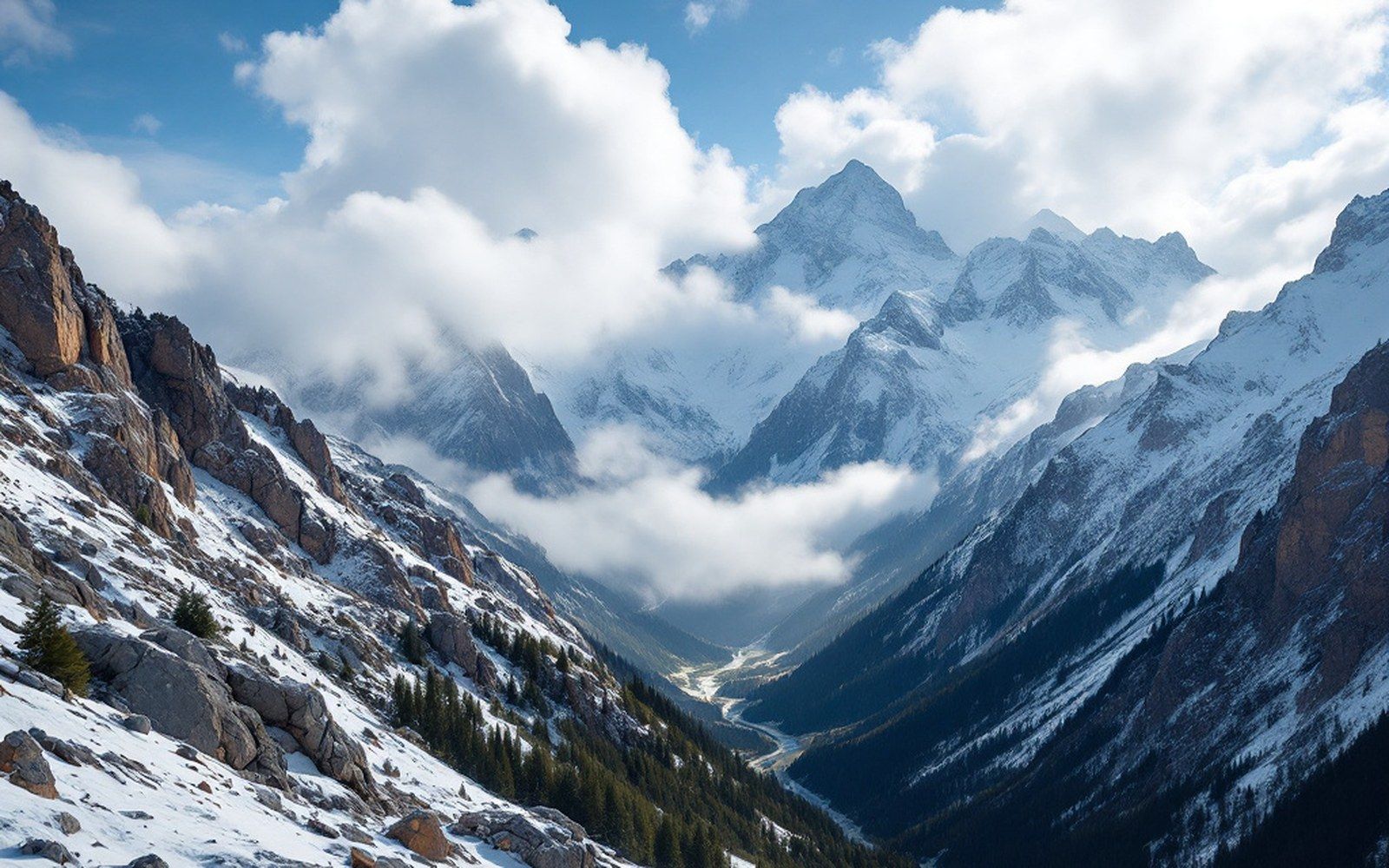
Caviahue is the anomaly: a small resort built on the flank of Copahue, an active volcano, through a forest of araucaria — the monkey-puzzle tree, the ancient conifer that grows nowhere else at these latitudes in quite this way. Its vertical is modest, around 400 metres, base close to 1,800 metres. What it lacks in scale it makes up in strangeness.
La Hoya, near Esquel in Chubut province, sits at a base of roughly 1,200 metres and offers about 500 metres of vertical. Its 30-odd kilometres of runs survive largely on the snow shadow effect — the Andes compressing what moisture reaches the eastern foothills — which keeps it reliably covered when larger resorts to the north have been stripped by dry seasons.
Penitentes, back in Mendoza province on the road to the Chilean border, has around 700 metres of vertical from a base close to 2,580 metres. It is a road resort: the Paso Los Libertadores route runs past it, and that access defines its character as much as its terrain does.
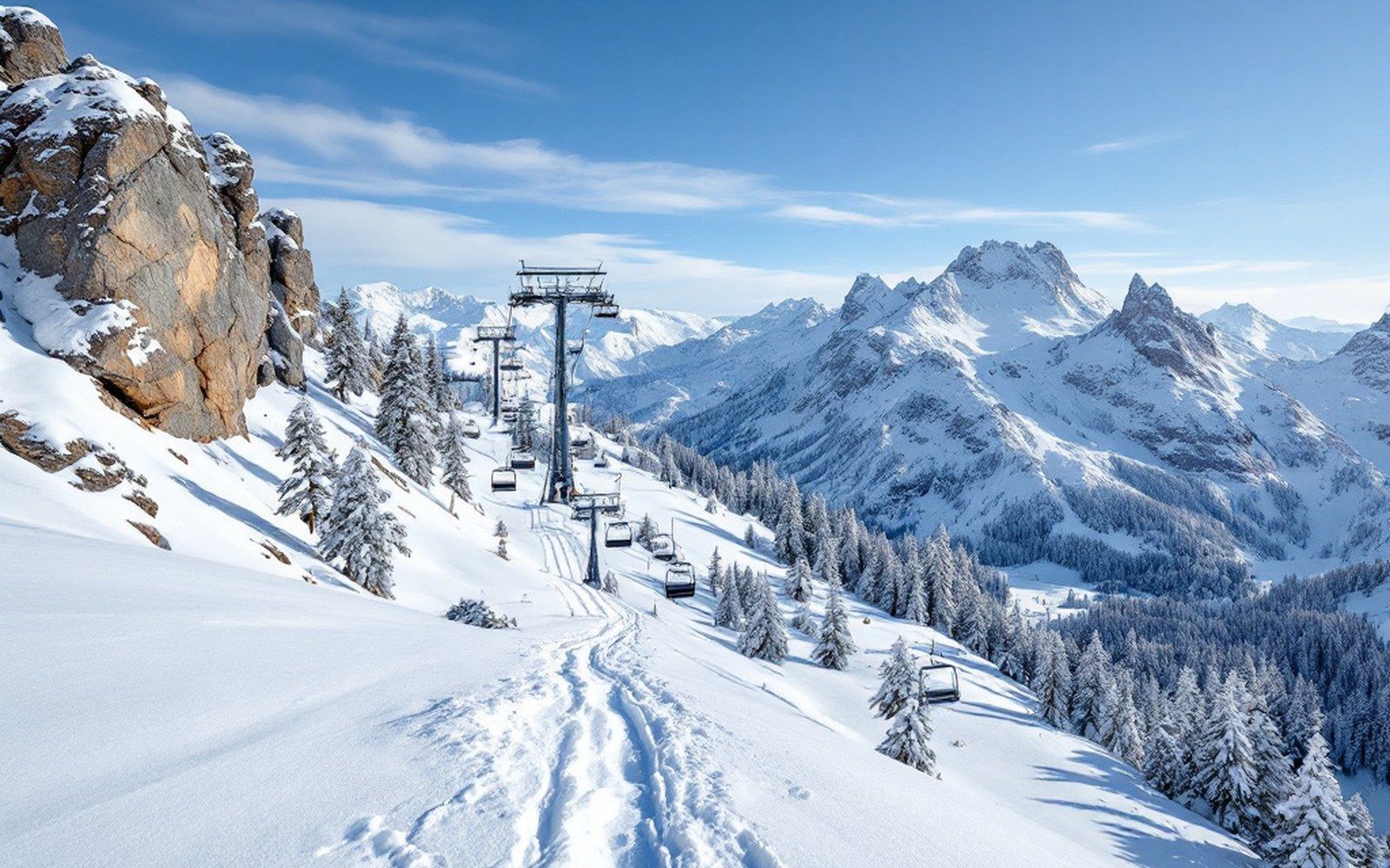
Cerro Castor, above Ushuaia in Tierra del Fuego, is the southernmost lift-served ski area on earth. Its base sits near sea level by Andean standards — around 200 metres — and its vertical is roughly 800 metres. The national teams that train there in August are not there for the vertical; they are there because August in Tierra del Fuego is deep winter, with snow reliable enough for gate training when the northern hemisphere is in midsummer.
Cerro Bayo, near Villa La Angostura, and Ski Primeros Pinos at Caviahue's sister area fill the count to nine. Cerro Bayo offers around 500 metres of vertical from a base at roughly 1,050 metres, with a compact, lake-facing aspect that gives it an unusually long view of Nahuel Huapi.
Laid out this way — vertical, area, base — the nine form a real shape. Las Leñas is high, steep and bare above the treeline. Catedral is wide. Castor is south. The numbers, not the adjectives, say so.