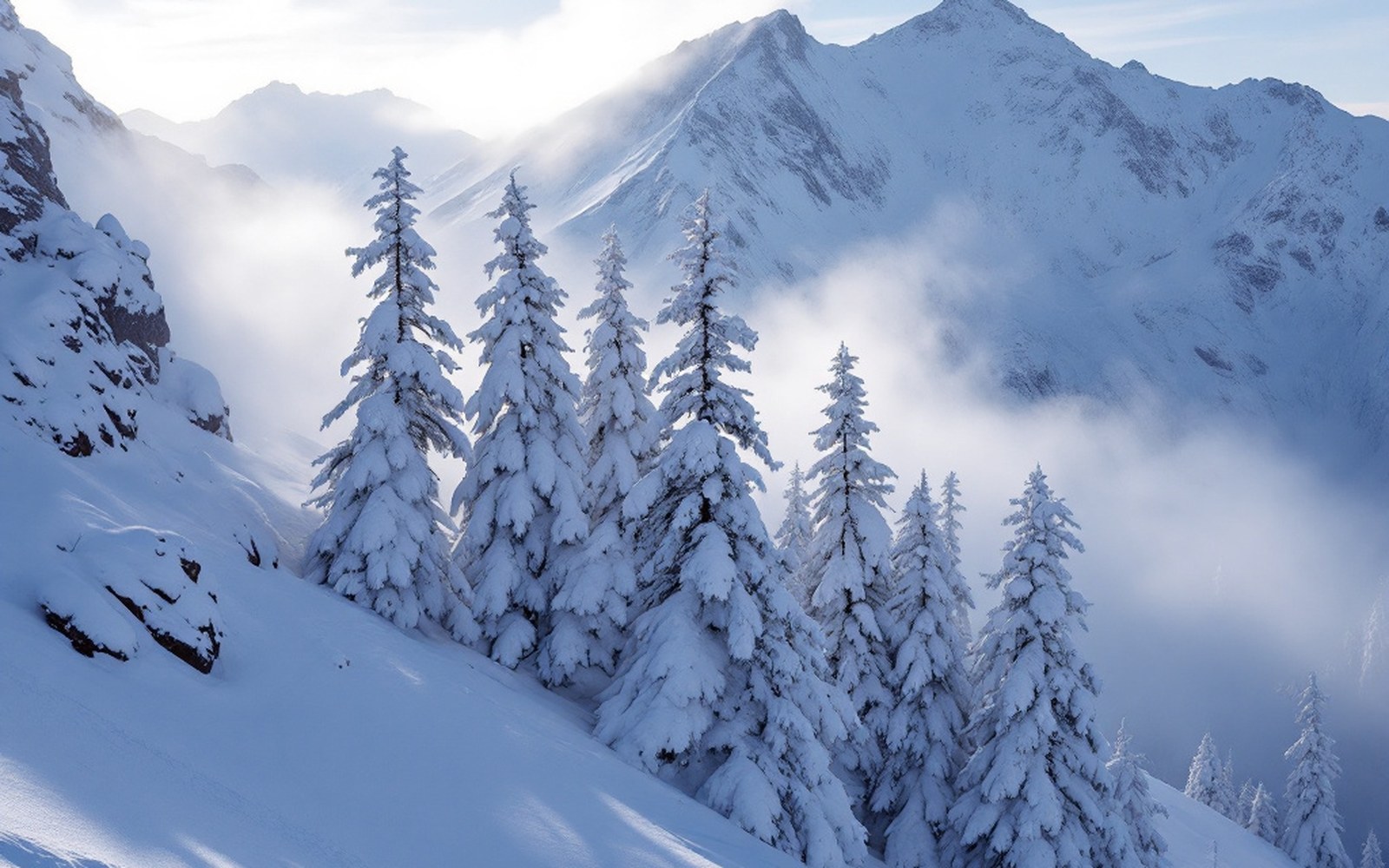
Todo Nieve/One column of latitude
The treeline moves, and so does everything else
Drive the Argentine Andes from Mendoza to Tierra del Fuego and the mountain changes underneath you. The vegetation line that defines where a ski run begins and where a forest ends shifts by more than a thousand kilometres of latitude.
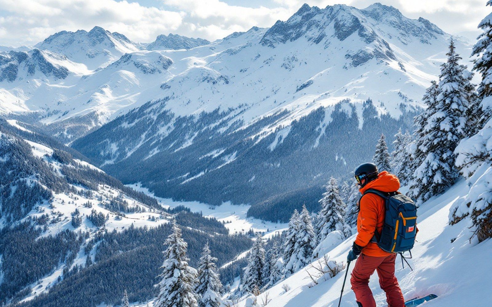
From rock and scrub to forest at the chair
At Las Leñas, in the dry Mendoza cordillera, there are almost no trees on the ski hill at all. The slopes open directly onto exposed rock and windblown scree; what little woody vegetation exists stays low in the valley floor and well below the lifts. The snowpack here builds on bare ground and talus, shaped more by wind than anything biological. Sastrugi — wind-sculpted ridges of hardened snow — form freely across the open faces because nothing interrupts the airflow. The resort sits above 2,200 metres and the growing season is short enough, the aridity severe enough, that trees simply cannot establish at lift-served elevation.
Move south to Caviahue, in Neuquén, and the picture changes. The resort sits inside a landscape defined by araucaria — the monkey-puzzle tree, a species old enough to have coexisted with dinosaurs — growing at elevations that would be treeless two degrees further north. The araucaria's canopy is sparse and high, so the terrain between trees is skiable, and the runs through the forest have a particular open quality unlike anything in the Alps. The trees are protected under Argentine national law; the lifts and runs were designed around them.
Further south still, through Chapelco and down to Cerro Catedral near Bariloche, the dominant species changes to lenga — Nothofagus pumilio, the southern beech — and the treeline rises to meet the lifts in earnest. At Catedral, lenga forest fills the lower mountain and shapes the boundary between groomed runs and the open bowls above. In a poor snow year, those lower runs through lenga are among the last to close because the tree cover holds drifted snow and moderates the wind that would otherwise scour the surface bare.
From the field notes
The latitudinal gradient
- Las Leñas (Mendoza province)
- near-treeless at lift-served elevation; exposed talus and scree
- Caviahue (Neuquén)
- araucaria forest at ski-area elevation; trees protected by Argentine law
- Chapelco / Catedral (Neuquén / Río Negro)
- lenga woodland fills the lower mountain; treeline meets the lifts
- Cerro Castor (Tierra del Fuego)
- entire lower ski area inside lenga forest; treeline at roughly 600 m asl
At the bottom of the map, the trees take the mountain
By the time you reach Cerro Castor, outside Ushuaia in Tierra del Fuego, the treeline has descended so far that the entire lower ski area sits inside lenga woodland. The lenga forests of Tierra del Fuego grow at elevations where the northern resorts have bare glacier margin or talus. On the upper lifts at Castor the terrain finally opens into alpine tundra, but even there the transition is compressed: the vertical distance from dense forest to open ridgeline is much shorter than anywhere further north, because the climate at this latitude suppresses the treeline to roughly 600 metres above sea level. Below that, lenga dominates almost completely.
This compression matters operationally. Run length above the trees — the open alpine terrain that most skiers associate with the sport's visual idiom — is shorter at Castor than anywhere else on the Argentine roster. What the resort trades for that is a snow shadow effect within the trees themselves: the canopy intercepts wind and redistributes drifted snow in ways that keep the forest runs in better condition longer into the season. At the northern end of the chain, where there is no forest to perform this function, snowpack management depends entirely on aspect and elevation.
The latitudinal shift in treeline elevation across the Andes — a steady descent in treeline elevation with increasing latitude through this part of South America — is not merely scenery. It determines base-elevation requirements, the character of storm snow versus wind-redistributed snow, and which parts of a mountain hold cover through a lean August. A dry year at Las Leñas is a story about an exposed snowpack with nothing to protect it; a dry year at Castor is a story told partly by the lenga itself, which holds what the sky did not deliver as generously as it might have. The tree is doing work. You just have to know to look for it.
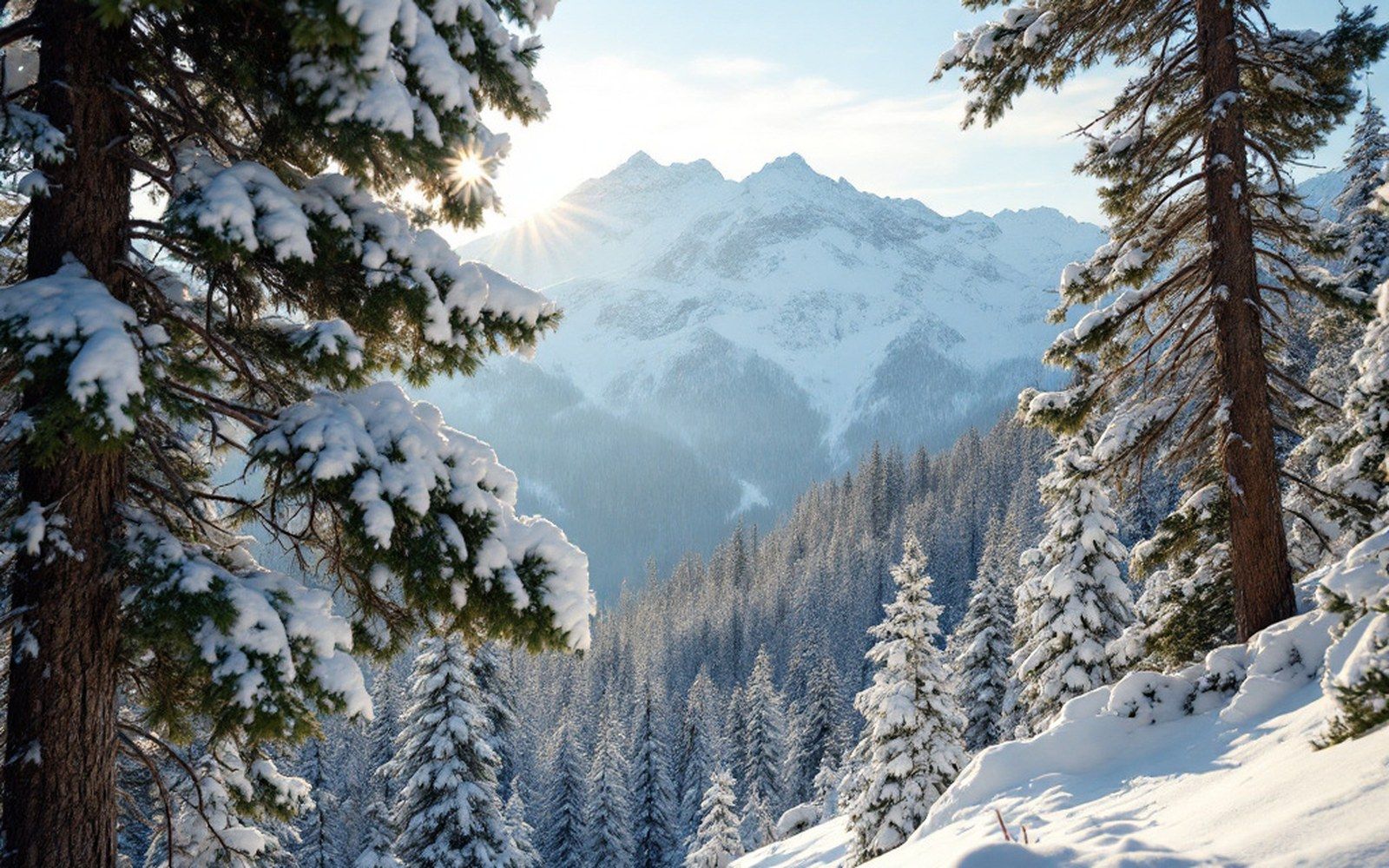
Nothofagus pumilio, the southern beech; dominant subalpine tree from Neuquén to Tierra del Fuego
the monkey-puzzle tree; ancient species protected under Argentine law, characteristic of the Caviahue area
wind-sculpted ridges of hardened snow, common on the exposed treeless faces of the northern resorts
the sheltering effect of tree canopy on drifted snow; reduces wind scour and extends cover