Todo Nieve/One column of latitude
Mendoza to Tierra del Fuego, in one column of latitude
Two thousand kilometres of range, a single winter, and a season that begins and ends on a different schedule at every point along it.
What the column contains
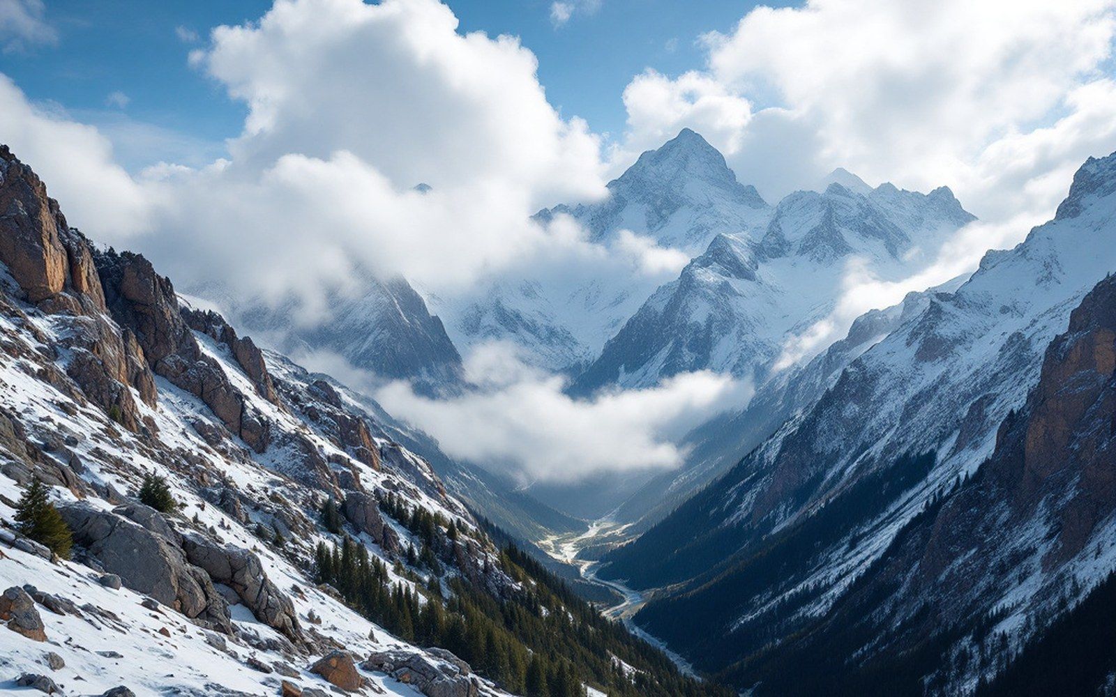
The Argentine Andes do not run in a tidy north–south line. The range swings, thickens and fractures as it goes, and the latitude column that holds the ski resorts stretches from roughly 33°S, where Penitentes sits above the Mendoza valley, to nearly 55°S, where the mountains of Tierra del Fuego sink into the Beagle Channel. That is approximately two thousand kilometres, the distance from London to the Sahara, and it spans enough climatic zones to make generalisation useless. A storm that puts a metre on Las Leñas may not reach Ushuaia. A clear, dry week in the north can coincide with a grey, wet fortnight at Cerro Castor. The chain is not one snowpack but a sequence of them, each governed by its own ocean exposure, elevation, and proximity to a continent growing steadily drier as it runs toward the pole.
What holds the column together is the Pacific westerlies. Moisture moves east off the South Pacific, rises over the range, drops its snow on the western slopes and — considerably drier — descends on the Argentine side. This is the mechanism from Mendoza to Ushuaia, and it explains both the snowfall and its limits. The rain shadow it creates on the pampas is the same physics that produces the lean years: when the westerlies weaken or shift, the resorts on the Argentine side feel it almost immediately, because they depend on a small number of frontal systems per season to build their base.
The elevation of the range changes dramatically along the column. At 33°S, the Andes are at their broadest and highest. Aconcagua stands close by at 6,961 metres, and the snowfields that feed Mendoza's rivers form at altitudes where no lift could follow. Las Leñas, the highest of the resorts, sits at a base elevation of around 2,240 metres, and its upper terrain approaches 3,430 metres — high enough that the snow there is dry and cold even in mid-August. By contrast, Cerro Castor above Ushuaia peaks at roughly 1,057 metres. That is barely a hill by Andean standards, yet it operates reliably because it is so far south that temperatures stay low, snowfall arrives from multiple directions, and the season extends into October without the high-altitude cold that Las Leñas depends on.
From the field notes
The column at a glance
- 33°S
- Penitentes / Las Leñas (Mendoza region): highest base elevations, driest snowpack, opens mid-June
- 37°S
- Caviahue: volcanic flank, geothermal ground, heavy snowfall but unusual snow-holding conditions
- 40–41°S
- Chapelco / Cerro Catedral (Bariloche): peak season July–August, largest skier volumes
- 43°S
- La Hoya (Esquel): smaller area, benefits from local snow-shadow positioning
- 54°S
- Cerro Castor (Ushuaia): southernmost lifts on Earth, season can extend into October
The season, station by station
The northern resorts open first, and this is not intuitive until you study the elevation. Penitentes, just off the Ruta Nacional 7 west of Mendoza, typically opens in mid-June, relying on high-altitude cold to preserve snow at a base that a lower-latitude resort elsewhere might struggle to hold. Las Leñas follows a similar calendar. Caviahue, on the flank of the Copahue volcano at 37°S, operates at a moderate altitude and has the unusual support of a geothermally influenced local climate — snow falls abundantly but the ground beneath is warm, which changes what holds and what does not. Chapelco and Cerro Catedral, serving San Martín de los Andes and Bariloche respectively at around 40–41°S, reach their peak snowpack in July, with stable cold keeping runs operational through most of August. These are the resorts that hold the largest portion of the season's skier visits, and their calendar aligns most closely with the school holidays that Argentine families plan around.
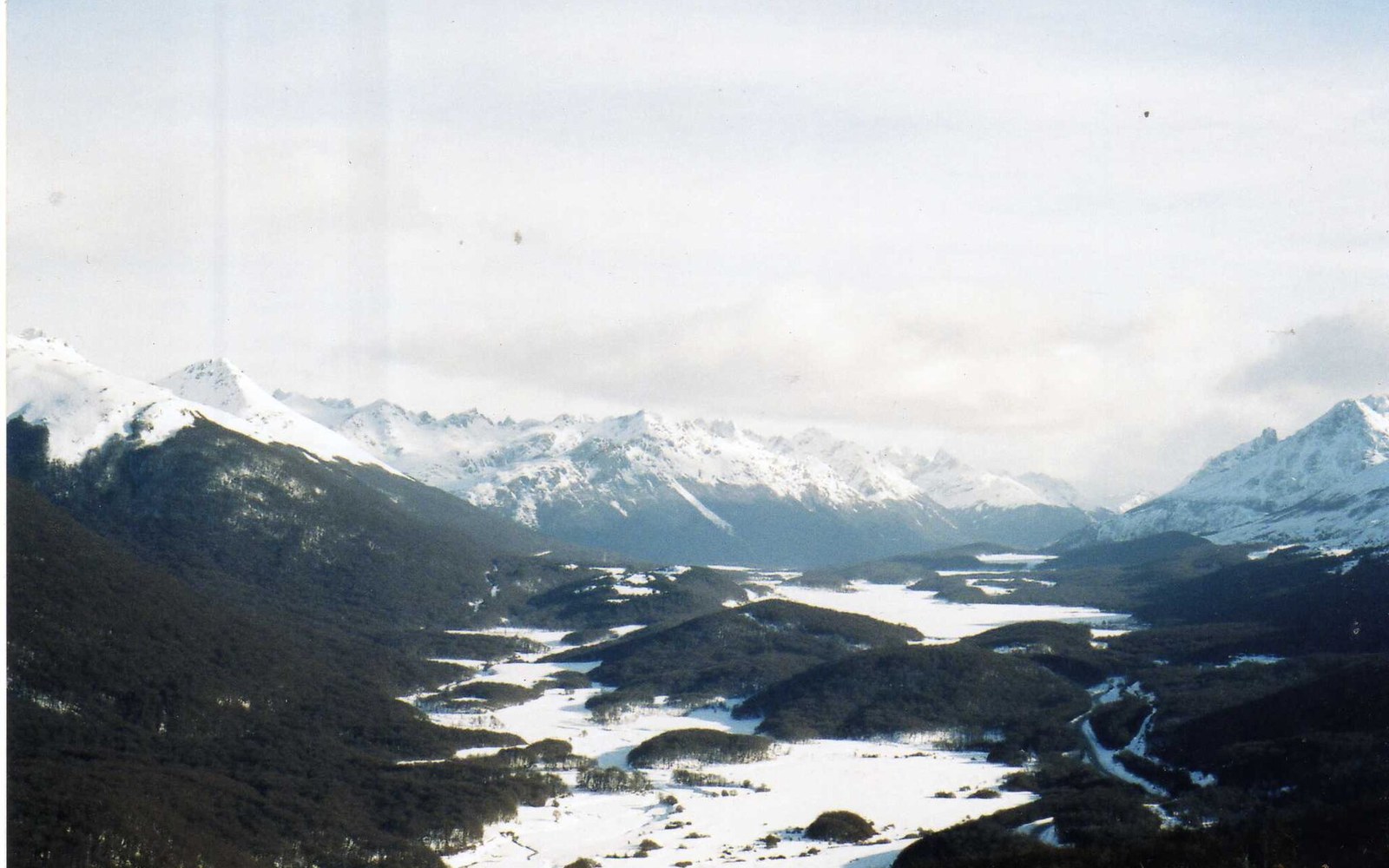
The southernmost resorts work on a different logic entirely. Cerro Castor sits at 54°S, close enough to the Antarctic convergence that maritime air dominates, and the season there can stretch later than anywhere north of it. National teams from the northern hemisphere — looking for snow in their own summer — often choose Ushuaia precisely because the calendar is still running in September when everything else has closed. The terrain is modest in vertical terms, but the latitude makes it irreplaceable as a training venue. The season ending is a function not of warmth but of daylight: by October, the days lengthen even at 54°S and the sun angle rises enough to soften snow that an hour earlier had been firm.
Between those poles, the middle of the column — Chapelco, Catedral, La Hoya above Esquel — shows the most complex seasonality. La Hoya benefits from a pronounced snow shadow effect; it sits in a position relative to the prevailing flow that gives it consistent, if modest, snowfall even when drier years push the snowline up to the north. Cerro Catedral, the largest resort in the country, draws from a lake-effect and altitude combination around Bariloche that can produce heavy falls relatively late in the season, sometimes deepening the pack in August after drier Julys.
What two thousand kilometres means on the ground
The consequence of the latitude column for any skier who thinks in terms of a single Argentine winter is this: the country does not have one ski season. It has several overlapping ones, nested inside a calendar that runs roughly from mid-June to mid-October, but unevenly distributed along the range. A committed traveller who moved south as the season progressed — Mendoza in June, Bariloche in July, Ushuaia in September — would be chasing the best of each zone in sequence rather than compromising on any of them.
What the range does not offer, anywhere along the column, is the consistency of a range that receives regular, reliable snowfall across the season. The Pacific storm track that feeds the Andes is not generous or frequent; it delivers the snowpack in pulses, separated by dry windows that can last weeks. The further north you go along the column, the drier the base climate, and the higher the elevation needs to be to hold what fell. The further south, the more maritime and variable, but with cold enough to keep lower terrain viable. Every resort on the column is a negotiation between latitude, elevation and exposure — and the column is long enough that no single deal applies twice.
From the field notes
Key distances
- Penitentes (north) to Cerro Castor (south)
- approximately 2,000 km along the range
- Elevation range
- base at Cerro Castor ~195 m; upper terrain at Las Leñas ~3,430 m
- Latitude span
- 33°S to ~54°S — roughly equivalent to Madrid to the north cape of Iceland