Todo Nieve/Where the snow comes from
The Zonda
A föhn wind that crosses the Andes from Chile and can halve a snowpack in a day.
What it is, and where it comes from
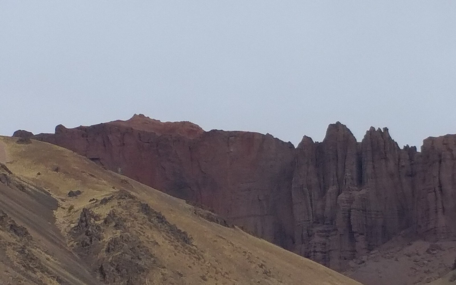
The zonda is a föhn-class wind — the same mechanism that produces the Alpine föhn of Switzerland or the chinook of the Rocky Mountain front range. Air masses originating over the Pacific cross the Cordillera, lose their moisture on the Chilean windward slope, then descend the Argentine lee side. Descending air compresses; compression warms it. By the time the zonda reaches the foothills and valleys of Mendoza, Neuquén or San Juan, it arrives dry, often dusty, and carrying temperatures that can rise fifteen or twenty degrees Celsius within an hour or two. The föhn effect is well-documented across every major mountain range on Earth; in the central Andes it runs with particular violence because the range is both very high and topographically abrupt on the Argentine side.
The name is old and the phenomenon is consistent enough that the Servicio Meteorológico Nacional classifies and forecasts it as a distinct weather event. It arrives most commonly in late winter and spring — the very months when a snowpack has been building for weeks and skiers are counting on it.
From the field notes
How the wind works
- Föhn mechanism
- Pacific air sheds moisture on the Chilean windward slope, descends dry and warm on the Argentine lee side; compression raises temperature
- Typical temperature rise
- 15–20 °C within hours in valley and foothill zones
- Humidity during an event
- can fall below 10% relative humidity at ridge level
- Wind speed
- gusts exceeding 100 km/h documented on exposed Andean ridgelines
What it does to the snowpack in a day
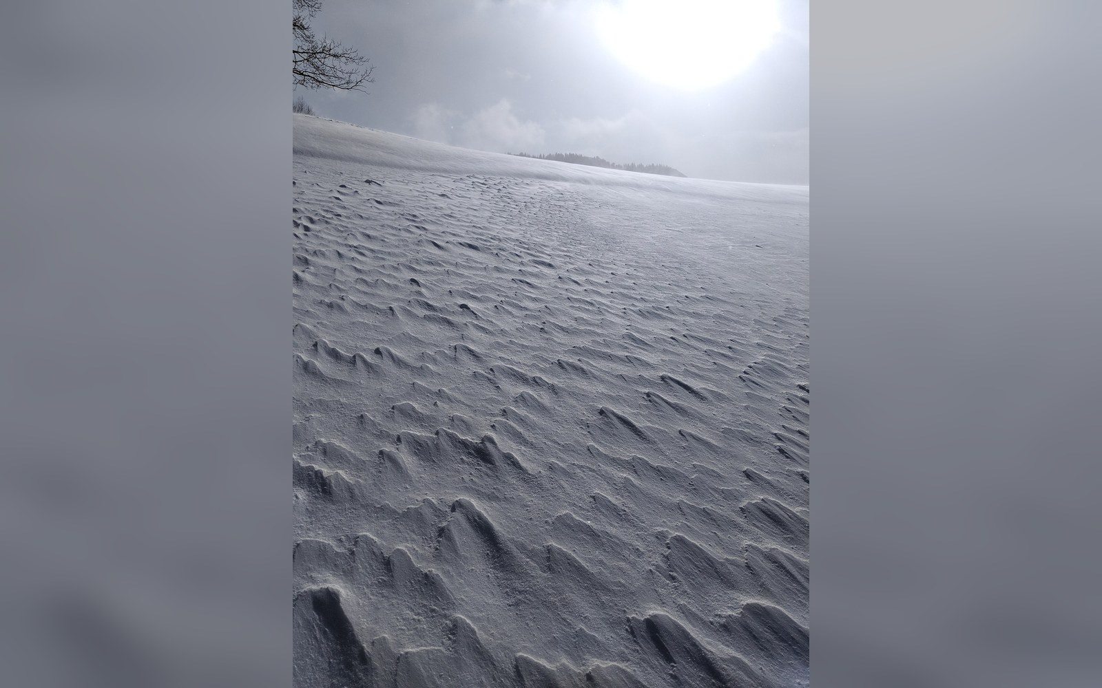
The damage is faster than most mountain weather. A sustained zonda can strip twenty to forty centimetres of settled snow from an exposed slope in a single afternoon through a combination of three processes working simultaneously: the temperature rise drives rapid sublimation and surface melt; the wind speed — gusts frequently exceed one hundred kilometres per hour on exposed ridgelines — mechanically erodes and transports snow; and the extremely low relative humidity, sometimes dropping below ten percent, accelerates moisture loss directly from the snowpack surface without any melting at all.
The result is not uniform. Terrain shapes the outcome. Convex ridgelines and south-facing aspects that catch the wind directly can be scoured to bare ground or ice, while leeward gullies and north-facing pockets may retain a workable layer. What remains after a strong event is often compacted, wind-loaded, and structurally unpredictable — surfaces that were powder the day before can be a brittle crust by morning.
At Las Leñas, which sits in the Valle de los Molles in Mendoza province at elevations above 2,200 metres, the zonda is a recurring and sometimes season-defining event. Its exposed upper mountain — where the steepest terrain runs — faces the Cordillera directly and offers little shelter. A two-day zonda event mid-season can redistribute the snowpack so drastically that slope character changes entirely until the next significant snowfall rebuilds it.
The longer consequence
A single zonda is a setback. A season with three or four of them, combined with weak accumulation, is something more serious. The snowpack here depends on a small number of Pacific storm systems threading through the Andes each winter; there is almost no alternative moisture source. When a zonda exhausts a snowpack that has already had an underperforming accumulation season, the deficit can be measured in snow-water equivalent rather than centimetres of surface depth — a more honest account of what is actually gone. Recovery requires not just the next storm but a cold and calm interval afterward, long enough to let the new snow stabilize before the next wind event arrives.
The dry years of the 2010s, among the worst on record for snowpack across the central Andes, were shaped in part by this compounding effect: poor accumulation magnified by above-average foehn frequency and intensity. The hydrology record — snow courses and snow pillows administered by the Instituto Nacional del Agua and provincial water agencies — shows the cumulative signature clearly. What felt on the hill like an especially bad wind week was, in the instrumental record, part of a documented multi-year pattern.
The zonda does not cancel a season on its own. It is, rather, the thing that makes a marginal winter feel brutal and a good winter feel precarious — a reminder that the Andes snowpack is never as settled as it looks on a clear morning in July.
From the field notes
What the snowpack shows afterward
- Scoured convex ridges and windward faces
- reduced to compacted ice or bare ground
- Wind-loaded leeward gullies
- retain snow but in structurally altered, denser form
- Surface transition
- powder to brittle wind crust can occur overnight in a sustained event
- Snow-water equivalent loss
- more meaningful measure of a zonda's damage than surface-centimetre counts