Todo Nieve/Where the snow comes from
What the dry years actually measured
The shortfall of the 2010s was a documented series, not a disaster. The numbers are less dramatic and more useful than the coverage was.

The shape of the deficiency
The decade between roughly 2010 and 2022 is now sometimes called the megasequía — megadrought — in Chilean and Argentine hydrology, and the label is technically defensible, though it risks flattening a more textured record. What the measurement network actually captured was a sustained reduction in Andean snowpack, concentrated in the central and north-central Andes, varying considerably by elevation and latitude, and interrupted by several locally adequate winters. The word disaster arrived in the press before the data had been properly integrated; the word recovery is already circulating before the mechanisms are well understood.
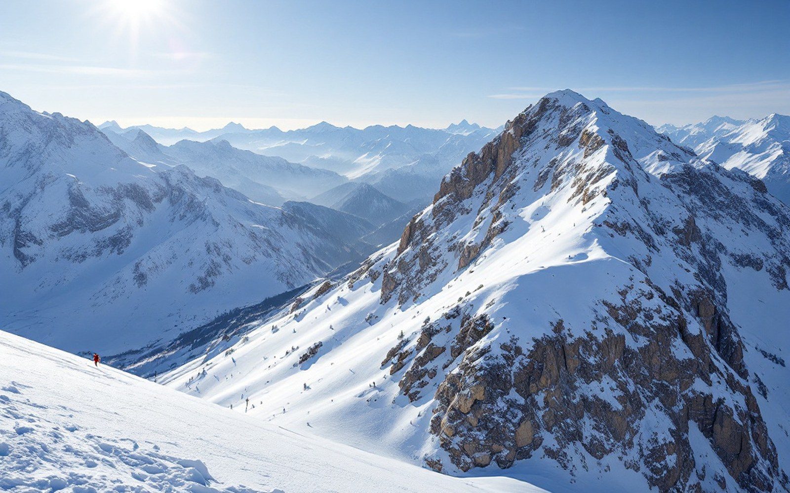
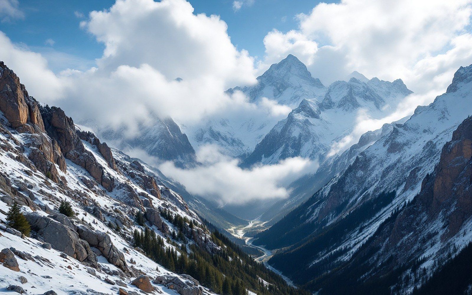
The snow that matters to Argentina's ski resorts originates almost entirely from Pacific winter storms that cross the range from the west. The Southern Westerly Winds, the broad belt of mid-latitude flow that drives those systems, contracted poleward over the course of the 2010s — a shift consistent with longer-term trends associated with climate variability in the South Pacific. A reduced or southward-shifted storm track means fewer events reaching the latitudes of Mendoza and northern Neuquén, while the southernmost stations, down toward Tierra del Fuego, feel the change less and sometimes not at all. Cerro Castor, at 54 degrees south, sits squarely in terrain that the westerlies still reliably reach; the mountains around Penitentes, more than two thousand kilometres north, had measurably harder winters through the drought period.
The figure most often cited in Argentine water-management discussions — a snowpack running roughly thirty percent below the twentieth-century average across the central Andes — is drawn from comparisons of snow-water equivalent, not snow depth. The distinction matters. A dry, wind-packed pack can sit at a respectable depth while holding far less water than a wetter, denser year. Snow pillows, the pressure-plate instruments that weigh a column of snow and report its water equivalent directly, became the more reliable instrument; manual snow courses, still conducted at many stations by INA (Instituto Nacional del Agua), confirmed the pillow readings at the seasonal maximum but are read only a few times a year and miss the February and March peak melt. Together, the two methods told the same story across the 2010s: less water stored, earlier melt onset, lower and shorter river pulses.
From the field notes
Basin hydrology at a glance
- Mendoza River basin
- most severe deficits of the drought period; 30–40% below 1981–2010 average in multiple consecutive years
- Atuel, Diamante, Tunuyán
- similar deficits to Mendoza basin; all central Andes drainages
- Neuquén River system
- below average but inconsistent; 2016 broke the drought sequence with near-normal accumulation
- Limay basin (Bariloche / Catedral)
- deficits recorded but of smaller magnitude than central Mendoza drainages
What the numbers said, station by station
The drought was not uniform. At stations feeding the Mendoza River basin, deficits of thirty to forty percent below the 1981–2010 average were recorded in multiple consecutive years after 2010. The Atuel, Diamante and Tunuyán basins showed similar patterns. Further south, the Neuquén River system, which drains the mountains above Caviahue and Chapelco, recorded below-average years but with less consistency — seasons like 2016 broke the sequence with something close to normal accumulation. The Limay basin, draining Cerro Catedral's home range around Bariloche, showed deficits but of smaller magnitude than the central Mendoza drainages. These are not skiing statistics; they are hydrological records kept for irrigation, hydroelectric generation and municipal supply, but they are the most rigorous proxy available for what the snowpack was actually doing.
At the resort scale, the clearest available indicator is the cumulative snowfall record kept at individual weather stations on the hills. These are less systematic than basin measurements — station exposure, wind redistribution and the particular topography of a given summit affect local depth — but the pattern across the decade is consistent with the basin data: runs of below-average seasons interrupted by occasional recoveries, with the deficiency most persistent and deepest at the northern end of the resort chain. Las Leñas, whose snowpack depends on the same storm tracks that feed the Mendoza basins, had some of the hardest years; its upper elevation saved terrain that would have been unskiable further down. Cerro Castor, by contrast, recorded several winters in the drought period that were within normal range.
None of this means the resorts were closed for a decade. A poor snowpack year at Cerro Catedral is not the same as a poor snowpack year at a lower-elevation European or North American area — the base elevations and the cold temperatures at altitude preserve what snow does fall, and artificial snow has supplemented natural snowfall at several areas since the 1990s. What the drought changed was the margin. Narrow early seasons, fewer extended powder cycles, more frequent periods of wind-consolidated sastrugi — the small, ridged formations that form when wind works over a thin pack — rather than fresh snow surfaces. That is not a crisis, but it is a different skiing landscape than the 1980s or early 1990s offered, and pretending otherwise does not serve anyone reading a decade of snowfall records.
What a dry decade reveals about the measurement
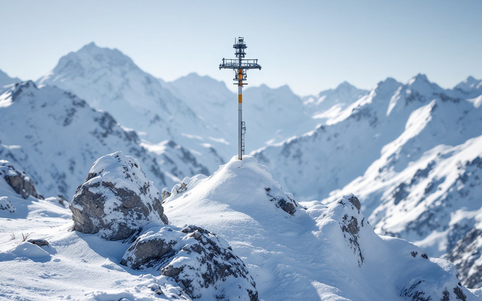
The sustained shortfall of the 2010s exposed gaps in Argentina's snowpack monitoring network that had been tolerable in wetter decades. Some basins had only one or two active measurement points at high elevation; others relied entirely on snow courses conducted once or twice a season, which can miss a late-season recharge or an anomalously early melt. INA and the provincial water agencies used the drought period to make the case for network expansion, and a number of new automatic stations were installed through the latter 2010s — particularly in Neuquén and Mendoza provinces, where the data gaps were most consequential for irrigation planning.
The drought also clarified the relationship between the zonda — the warm, desiccating wind that descends the eastern lee of the range — and snowpack loss. It had always been understood that a strong zonda event could strip days of snow from the pack in hours, but during the 2010s, with thinner packs to begin with, individual zonda cycles became proportionally more destructive. A loss of ten centimetres of snow-water equivalent in a day is manageable when the pack is deep; it is a season-altering event when the pack was already marginal. The monitoring record from this period made that proportionality quantitative for the first time across multiple seasons.
The megasequía label is not wrong, but it has encouraged a kind of catastrophism that the underlying numbers do not fully support — and, more usefully, it has encouraged a kind of measurement that the region lacked. The decade's shortfall is now a documented baseline. Whatever the next decade brings, there is more infrastructure to read it accurately, more station density to catch the regional variation, and more years of data to give the anomalies their proper scale.
From the field notes
Key distinctions
- Snow-water equivalent vs. snow depth
- the drought's severity was measured in water stored, not pack depth; a dry compact pack can look adequate while holding far less water
- Snow pillows vs. snow courses
- pillows weigh the column continuously; manual courses read a few times a year, missing peak melt events
- Resort snow vs. basin snow
- resort-level records are secondary to hydrological basin records as a reliable proxy for snowpack; both told the same directional story in the 2010s